UNESCO’s Executive Board has approved the designation of Salpausselkä in southern Finland as a new UNESCO Global Geopark. In total 8 new Geoparks were approved, bringing the number of sites participating in the Global Geoparks Network to 177 in 46 countries.

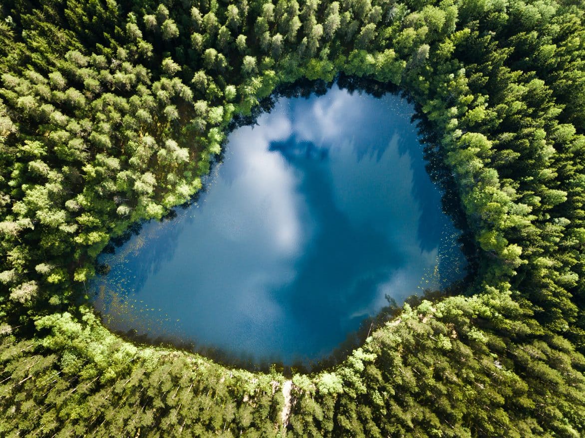
Home to around 177,000 inhabitants, the Salpausselkä UNESCO Global Geopark is located in southern Finland, in the southernmost part of the Finnish Lakeland, covering an area of 4,506 km². Around 21% of the geopark is covered by water and over half by forests. The hundreds of lakes in the geopark are a central feature of the landscape, along with the long, distinct Salpausselkä ridges.
Extending over more than 600 km across southern Finland, the ridges consist of sediments deposited by glaciers. They bear witness to climate change, specifically to the the Younger Dryas, the cool period that lasted roughly from 12,900 to 11,600 years ago, and disrupted the Northern Hemisphere’s warming trend at the end of the Pleistocene Epoch (2.6 million to 11,700 years ago). Studied since the 19th century, these ridges constitute Finland’s best-known geological heritage set in a landscape formed by melting glaciers that created glaciofluvial landforms and rock formations that store an abundance of groundwater and provide the region with naturally high-quality drinking water.

Another Nordic Geopark was approved at the same session of UNESCO´s executive board, the Platåbergens UNESCO Global Geopark, West Sweden. It presents a unique landscape of 15 flat-topped Table Mountains, platåbergen in Swedish.
Geological heritage
The UNESCO Global Geopark label recognizes geological heritage of international significance. Member States unanimously ratified its creation in 2015. The sites of this network present an extraordinary geological diversity that underpins different regions’ biological and cultural diversity. The geoparks serve local communities by combining the conservation of their unique geological heritage with public outreach and sustainable development.
 With these 8 new designations, the Network now covers a worldwide surface area of 370,662 km², comparable to the area of Japan.


